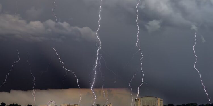
Good day, everybody. Heavy rain and thunderstorms continue to move north and east as tropical low pressure remains across Kentucky.
To the east of our center of circulation, severe weather with strong winds continues to affect a large area. We are closely monitoring a substantial line of thunderstorms moving through North Carolina and Virginia, and rapidly heading towards Maryland.
Strong to severe thunderstorms may also extend into West Virginia and the southern Pennsylvania border later today. There have already been reports of wind damage and radar-indicated rotation associated with some of these thunderstorms.
The National Weather Service has issued a Tornado Watch for parts of North Carolina and Virginia until 6pm ET. Expect locally damaging winds, hail, frequent lightning, torrential rain, and the possibility of brief tornadoes.


